OBJAVUJEME
SKRYTÉ SVETY
OBJAVUJEME
SKRYTÉ SVETY
GEODETIC ENGINEERING AND LAND REGISTER
TERRESTRIAL LASER SCANNING
Terrestrial laser scanning is a powerful instrument for quick and precise documentation of the actual state or condition of buildings, cultural monuments, tunnels, bridges, and other constructions. It also plays a significant role in surveying complex roof structures, pipe systems, structures facades and interiors.
Outputs:
- Laser point cloud
- Layouts, floor plans, sections, and elevations
- Measurement accuracy analysis
- 3D building models


GEODETIC ENGINEERING AND LAND REGISTER
GEODETIC ENGINEERING
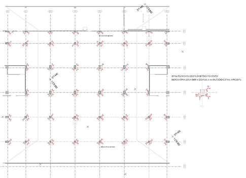
Geodetic measurements at different stages of the construction or engineering process, from specific/focused/purposeful mapping, setting out engineering communications and service pipelines for buildings, locating buildings on-site, through marking out the building layouts to working out as-built drawings for buildings, verifying measurements of their geometric parameters, and monitoring structural displacements and deformations, also fall under the tasks of our qualified team.
Outputs:
- Planimetric and altimetric surveys during the pre-contract stage of building construction
- Report on setting out engineering communications and services pipelines
- Setting out drawings
- As-built drawings
- Report on marking out technological objects and crane ways with gauging proposals
- Basic factory maps
GEODETIC ENGINEERING AND LAND REGISTER
REAL ESTATE CADASTRE
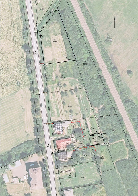
Photomap offers complete services for cadastral mapping, and real estate transactions regarding local surveying, identifying plots and marking out boundaries and dimensions of land ownership, drawing survey sketches, preparing estate maps, and territorial charts, and providing consultancy services in the cadastral field.
Outputs:
- Survey sketches
- Setting out drawings
- Plot identification
- Documents for the settlement of property rights
- Consultancy services


